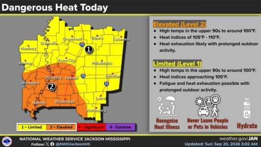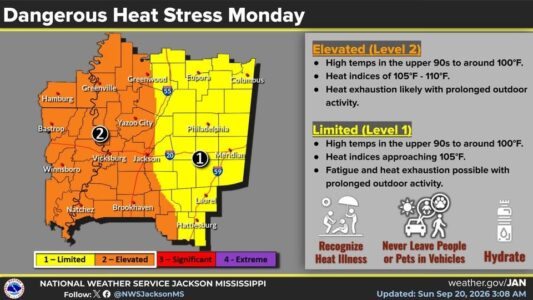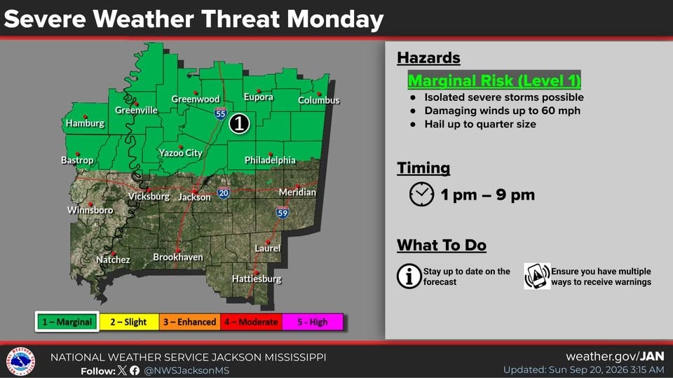
Our last days of summer will be hot ones in this part of central Mississippi and the heat could help to fuel some strong storms on Monday. Temperatures will continue running more than 10 degrees above normal, with highs forecast generally in the upper 90s. Durant could reach the triple digits today. There’s a Level-1 “marginal” risk of isolated severe storms for the entire local area Monday afternoon and evening.
But as fall arrives Tuesday night, so will a change in our weather pattern, which will become more noticeable by the middle of next week. Tuesday night’s lows are expected to drop into the upper 60s areawide and into the lower 60s in most areas Wednesday night. High temperatures are forecast to fall into the lower 90s on Wednesday and into the upper 80s across most of the area on Thursday.