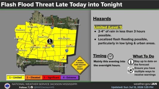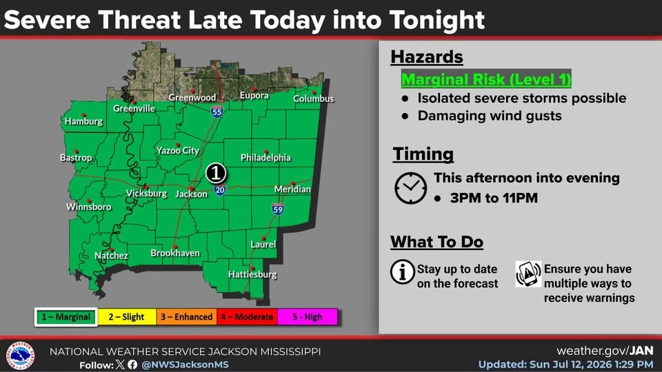
The National Weather Service is keeping a large part of Mississippi including most of the local area under a Level-1 “marginal” risk of isolated severe storms through this evening. Damaging wind gusts will be possible. Heavy rain and frequent lightning can also be expected. NWS says between 2 and 4 inches of rain could fall possibly triggering flash flooding.
With more showers and storms forecast through Wednesday, the state will enjoy a brief break from the heat stress with afternoon highs reaching only into the mid and upper 80s. Hotter and drier weather will return later in the week.